Back to Day 11: Rest day in Cherokee Forward to Day 13: Wahpeton - St. James, MN
Day 12: 28-Aug-2002 Cherokee - Wahpeton (map)
Today's distance       70.4 miles
Time moving:              5 hours, 34 minutes
Time stopped:             1 hours, 27 minutes
Ending elevation:      1429 ft
Max speed:              35.1 mph
Moving average speed:  12.6 mph
Overall average speed: 10.0 mph
Cumulative climbing:   2356 ft
Cumulative descent:    2454 ft
Total distance:       708.3 miles
A very nice and pleasant ride today. I'm really getting into the
groove of this. Plus, there was a steady breeze from the south, and I
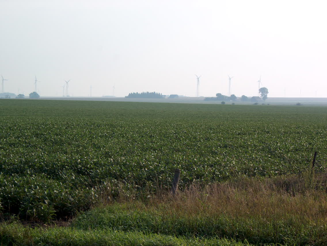
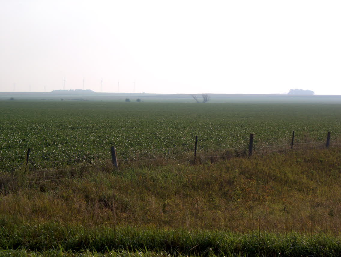
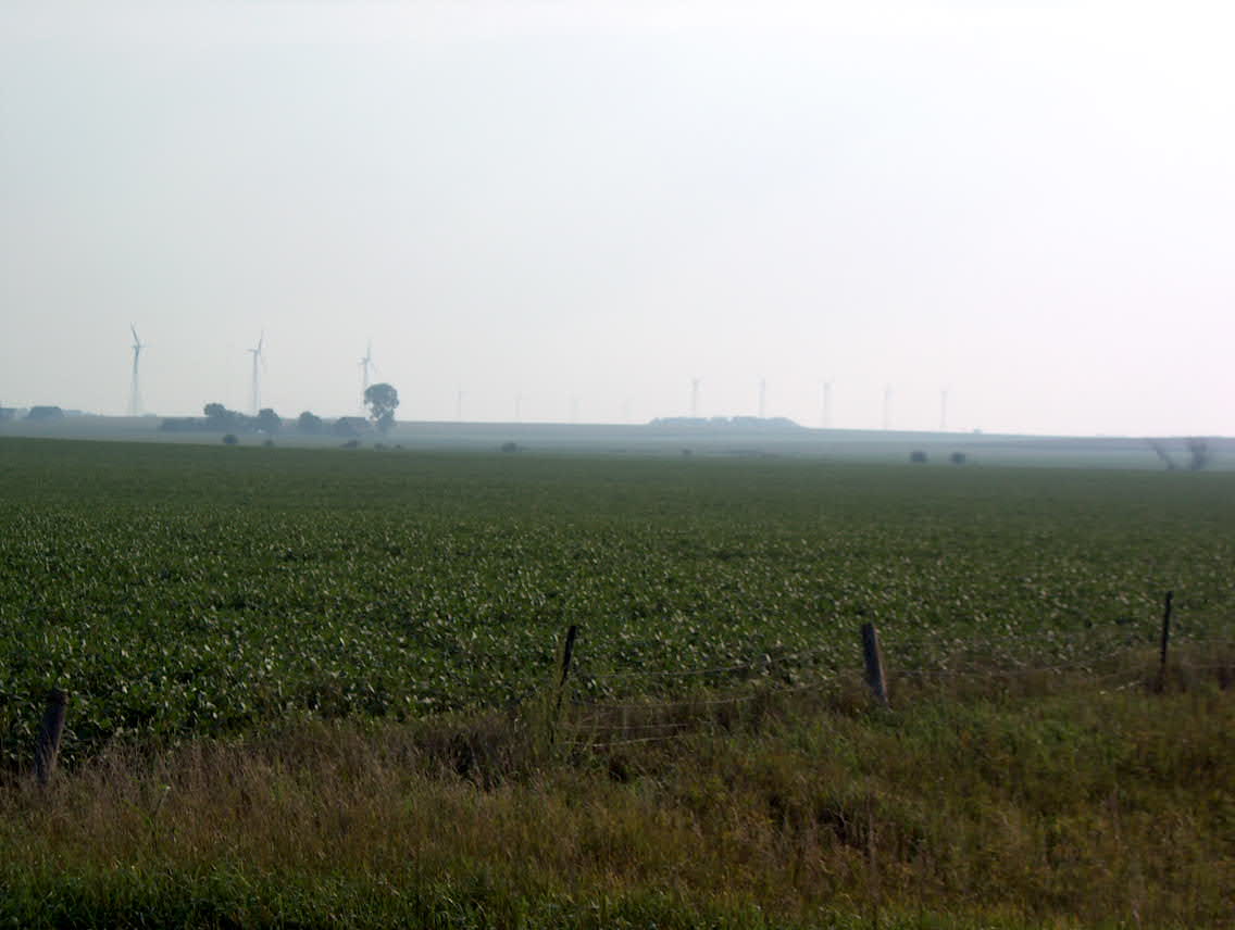
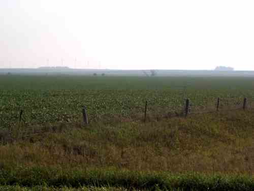
was going mostly northbound. I rode through the Buena Vista County
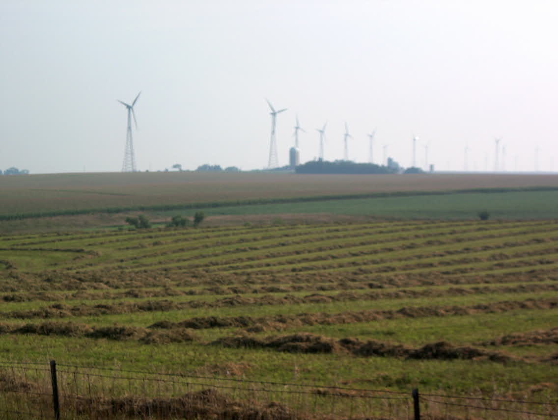
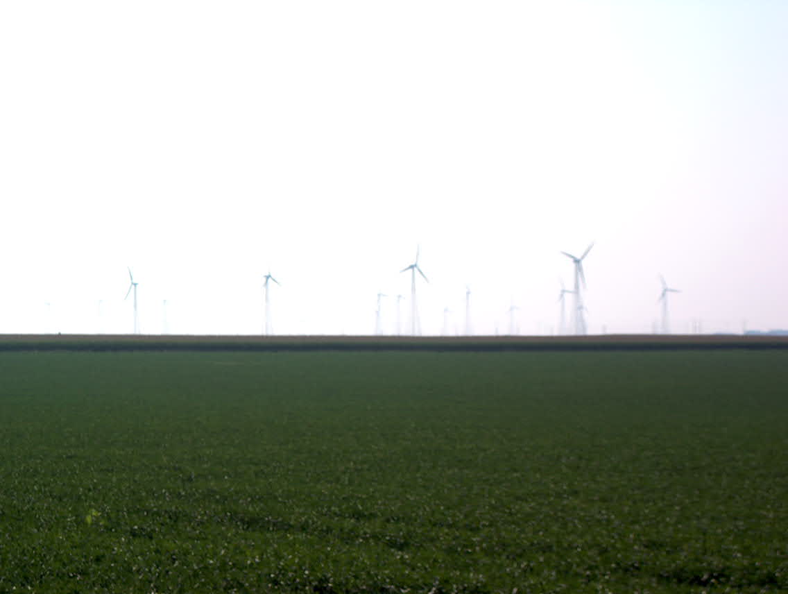
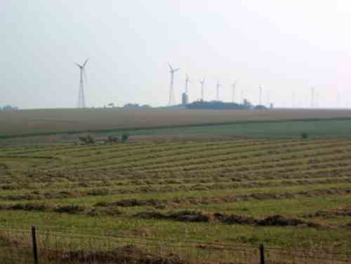
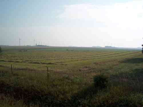
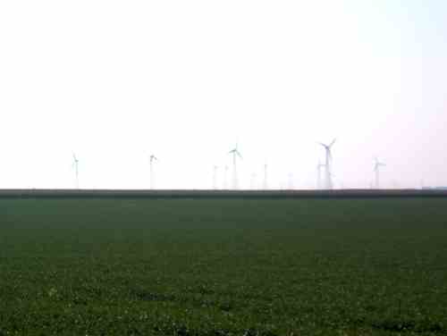
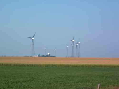
wind farm, the largest wind farm in the world. There are 259 759 kW
turbines, with a total peak capacity of 193 MW. These things were
cranking out lots of power as I rode by. Click here to see an MPEG movie (750 kb) shot with my digital camera. More pictures below. The terrain was gently
rolling plains, with two big river valleys to cross at Cherokee and
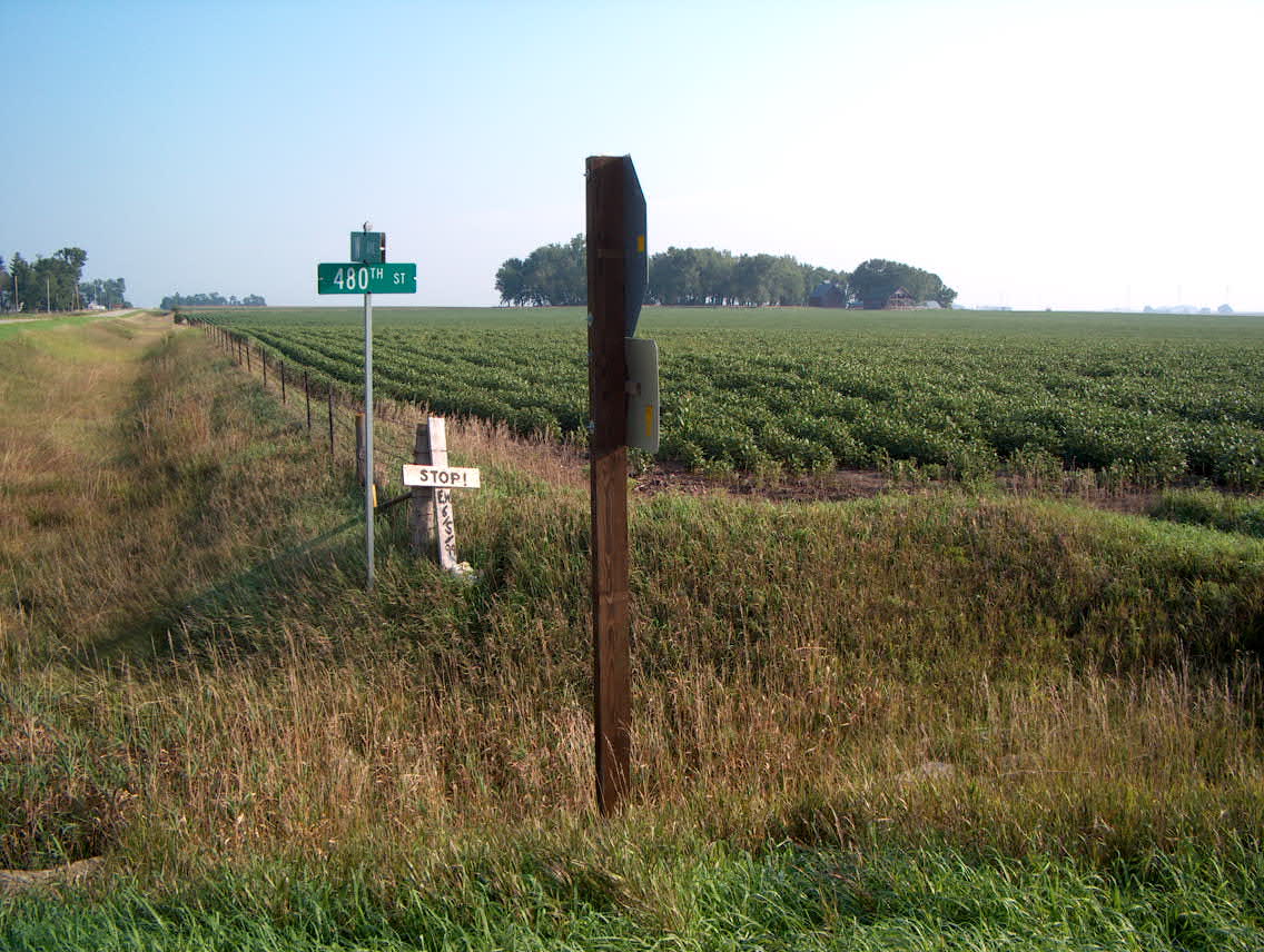
Peterson. The ride out of Cherokee began on state highway 3, which
was narrow and busy, but according to advice at the bike shop
yesterday, I got off that road as soon as possible, onto county road
M10, and from that point on the roads were essentially empty.
The valleys were about 200 feet deep, but the rest of the hills were
perfect for cruising, very pleasant.
Just south of Peterson I stopped at a turnout into a corn field, and
noticed that from that point going into the corn was a path of stalks
broken over, as if someone had walked into the field knocking over the
stalks. Looking more closely, at the footprints that were there, it
was done by a bear. Hmmm, time to move along.
As I rode northbound for several hours I heard the constant sound of
jet aircraft flying circles overhead. I must have been riding under
Military Operations Area (MOA) airspace, as I could hear what sounded
like two or three fighters flying combat air patrol patterns. I
stopped a few times and looked for the planes making the noise, but I
could never see anything, but an F16 at 50,000 ft isn't much of a
target to look at. Whatever they were, they were high and fast. I
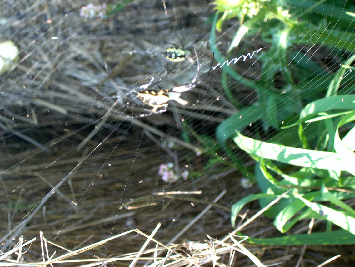
also saw several huge spiders, which made an interesting web with a
"Z" pattern sewn radially from the center. Some of these spiders were
feasting on the abundant supply of grasshoppers.
I camped at Gull Point State Park, near the resort town of Wahpeton.
I didn't see any open stores or restaurants as I rode in, and was low on
food. So I pitched my tent, took off all of the panniers, and headed out
in search of dinner. At the park entrance I saw a house, and there were
two young women there so I pulled up and asked them where the nearest place
to get a bite to eat was. They looked at me like I had just dropped in from
Mars and one of them responded "On a bike? Well, Milford is 5 miles away"
as if 5 miles were an astonishingly long ride.... I didn't tell them where
I had come from, just pedaled away, laughing to myself. Before Milford was
a convenience store, and I stopped there. I should have continued into town,
as I didn't eat a good meal.

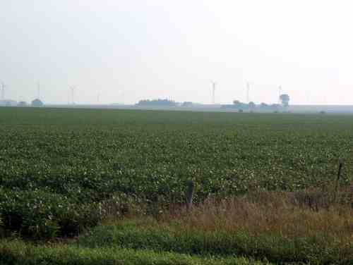
Lots of wind turbines in the distance. This goes on for miles and miles.
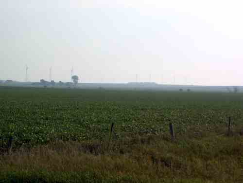
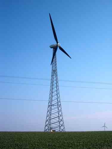
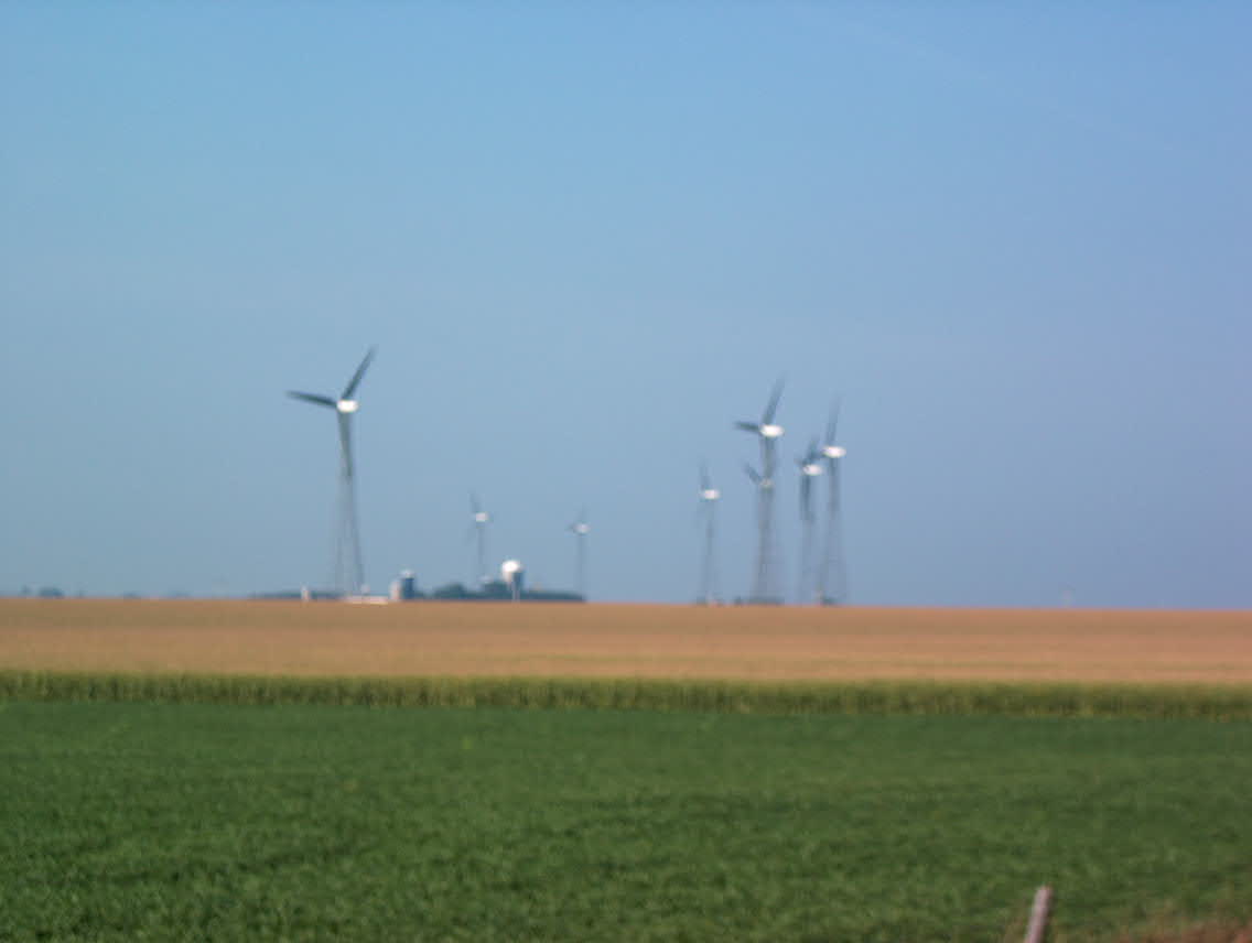
Here is a closeup.
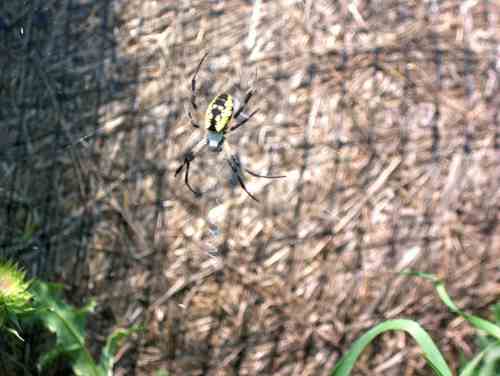
There were millions of these HUGE spiders along the side of the road and in the fields, feasting on grasshoppers.

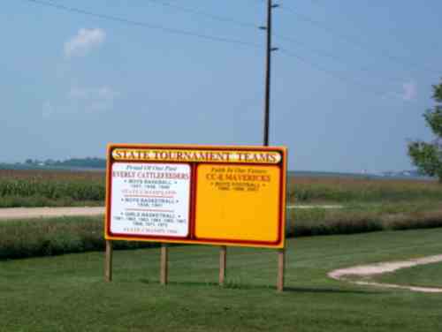
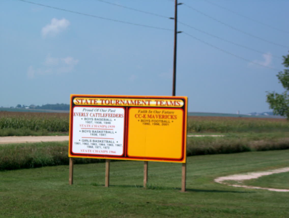
Off all the pictures to be out of focus. Something about the "Everly
Cattlefeeders" as a school mascot name caught my funny bone just right.
Back to Day 11: Rest day in Cherokee Forward to Day 13: Wahpeton - St. James, MN