Back to Day 12: Wahpeton - St. James Forward to Day 14: St. James - Faribault
Day 13: 29-Aug-2002 Wahpeton - St. James, MN (map)
Today's distance       73.0 miles
Time moving:              5 hours, 36 minutes
Time stopped:             1 hours, 26 minutes
Ending elevation:      1095 ft
Max speed:             31.3 mph
Moving average speed:  13.0 mph
Overall average speed: 10.4 mph
Cumulative climbing:   1642 ft
Cumulative descent:    2034 ft
Total distance:       781.4 miles
I started out very sluggishly today. Last night I wasn't particularly
hungry, and I just didn't eat well. My thighs were sore and burning
from the start today.
A brisk 10-20 mph breeze was blowing from the south made for a nice
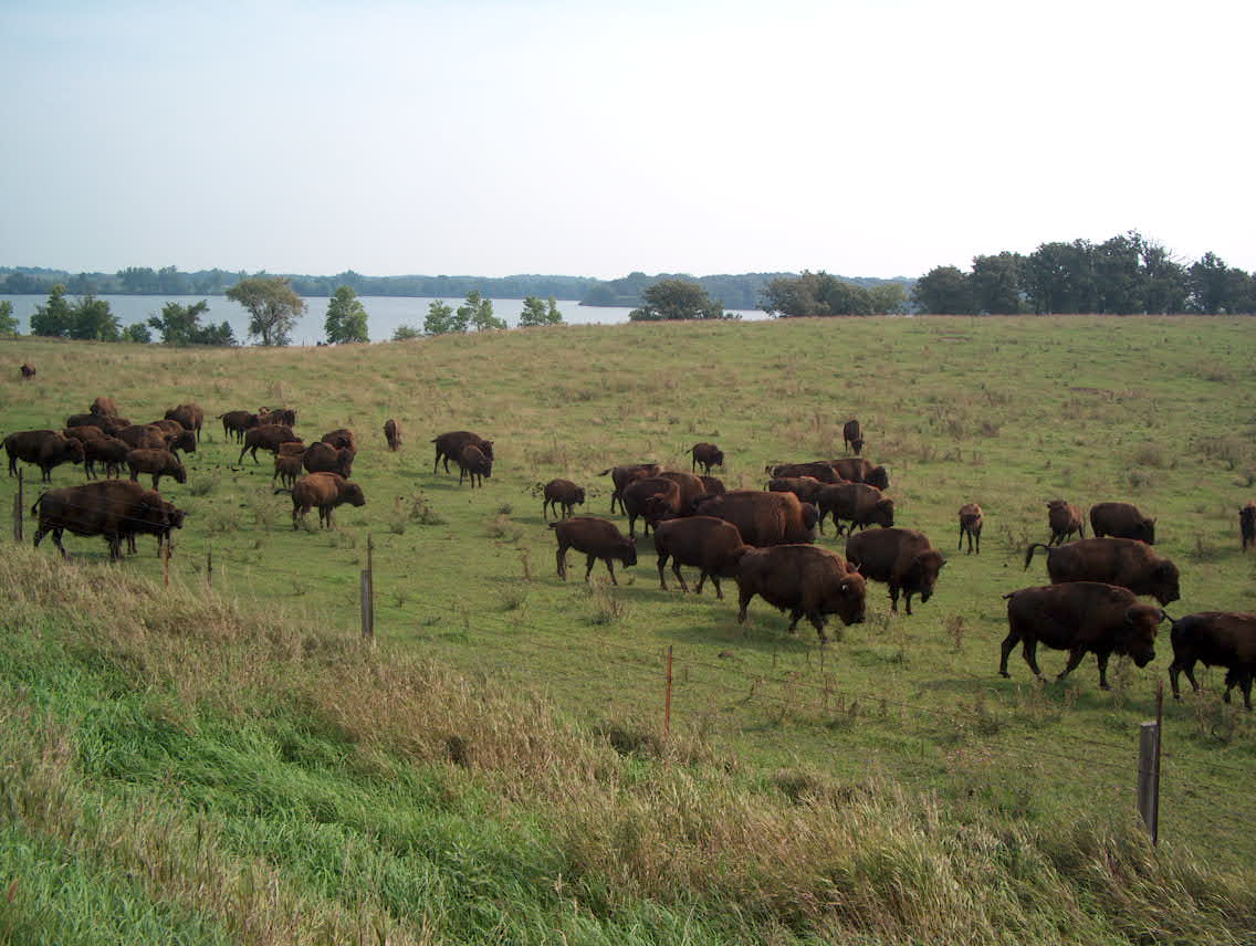
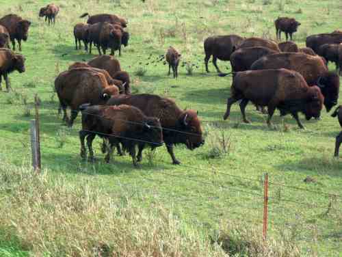
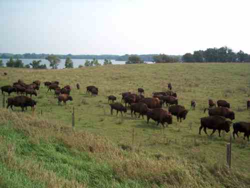
day of northbound riding. There was a bison herd just south of the
Iowa-Minnesota border, near a lake that was home to a flock of
pelicans. Pelicans are among my favorite birds, their motion when
flying is entrancing.
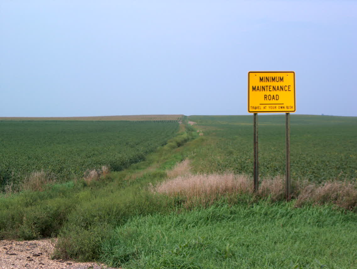
The roads around Lake Okoboji, and in the town of Spirit Lake were
busy and narrow. Highway 86 along the west side of the lake was the
worst riding experience I've had during the entire trip thus far. I
was glad to be able to spend most of the day -- after the first 10 or
15 miles -- on roads that were either desolate or which had at least a
small paved shoulder. The Minnesota state bike map claims that
highway 4 has >= 6' paved shoulder, but it is actually more like a
foot. This is adequate, but it left me wondering if the key on the
map really means 6 inches instead of 6 feet.
I made good time, and checked into the Super 8 motel in St. James, took
a nap, and then rode to the Hickory Inn for dinner.
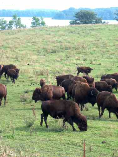
Bison
herd. Swan Lake is in the background. This is about 3 miles south
of the Iowa-Minnesota border, on Dickinson County road N16.
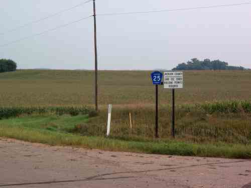
No kidding. This is the IA/MN state line (MN on the right, IA on the left).
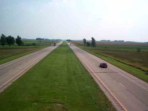
Crossing I-90.
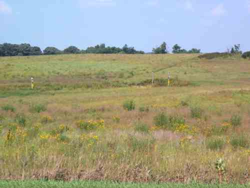
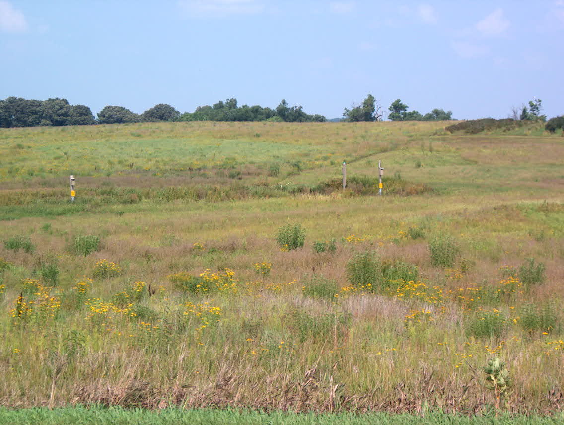
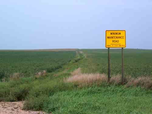
Former farm fields, now prairie.
Back to Day 12: Wahpeton - St. James Forward to Day 14: St. James - Faribault