Back to Day 9: Norfolk - Onawa Forward toDay 11: Rest day in Cherokee
Day 10: 26-Aug-2002 Onawa - Cherokee (map)
Today's distance       66.8 miles
Time moving:              6 hours, 28 minutes
Time stopped:             1 hours, 46 minutes
Ending elevation:      1198 ft
Max speed:             24.3 mph
Moving average speed:  10.5 mph
Overall average speed:  8.2 mph
Cumulative climbing:   1200 ft
Cumulative descent:    1079 ft
Total distance:       637.9 miles
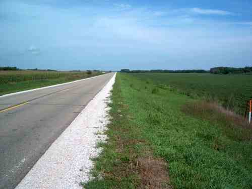
An uneventful day that began with a flat ride across the Missouri River flood plain,
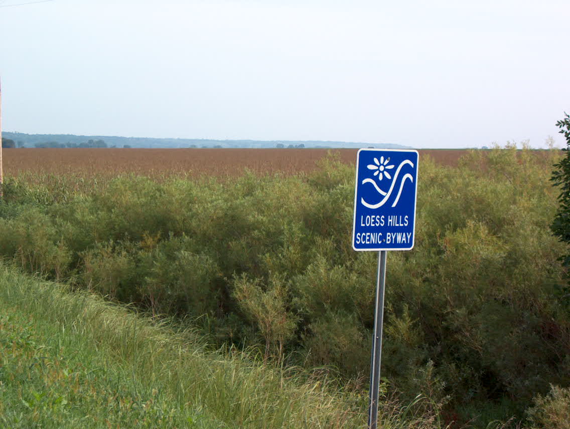
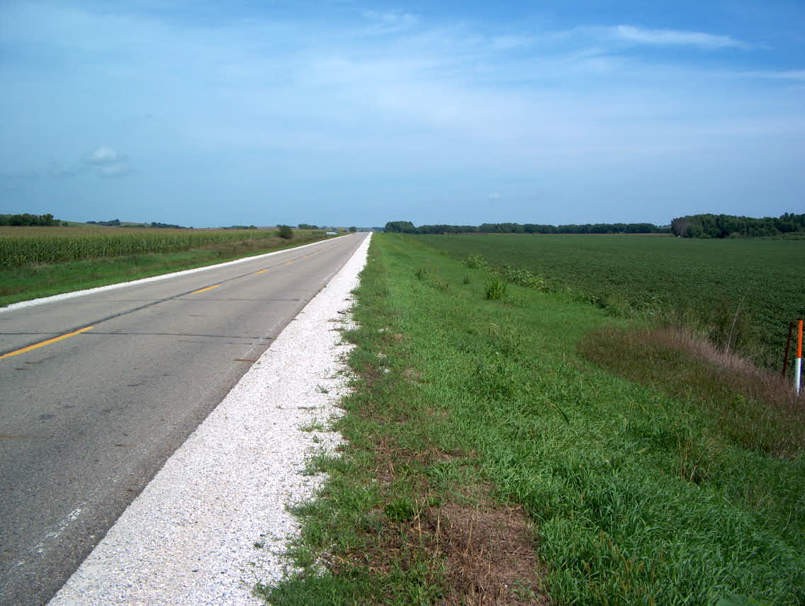
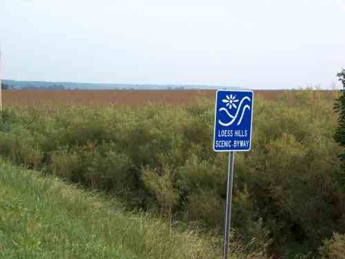
then along the Little Sioux River through the Loess Hills.
This ride was mostly through a
scenic river valley, and a fairly flat ride. Loess (pronounced, best
as I could tell, as "luss") is the lightest, smallest-grained kind of
wind-blown soils, and the Loess Hills run much of the north-south
length of Iowa, just east of the Missouri river valley.
I stopped for a late breakfast/early lunch at Grandma Wimpy's restaurant
in Smithland. One of the waitresses there recognized me -- I had ridden
past her white SUV a few miles back as she was parked along side the road
talking on her cell phone. The road for most of the day had no paved
shoulders, but again traffic was light, although there were a fair number
of grain trucks passing by.
I reached Cherokee in
mid-afternoon and stopped at the Chamber of Commerce for directions to
motels. The CoC office is in the old railroad depot, which is
undergoing restoration. Apparently it came very close to destruction
as the private owners had torn down the canopy due to fear of it being
unstable. Locals formed a nonprofit corporation to purchase the site,
and are now renovating the depot, an outbuilding, and two old railroad
cars. Next I went to the public library and posted a message and
checked email.
Downtown Cherokee is in a valley, and the motels were up a hill. Rode
up there, checked in, had dinner and went to bed early, thinking that
I may take a rest day and spend tomorrow here.
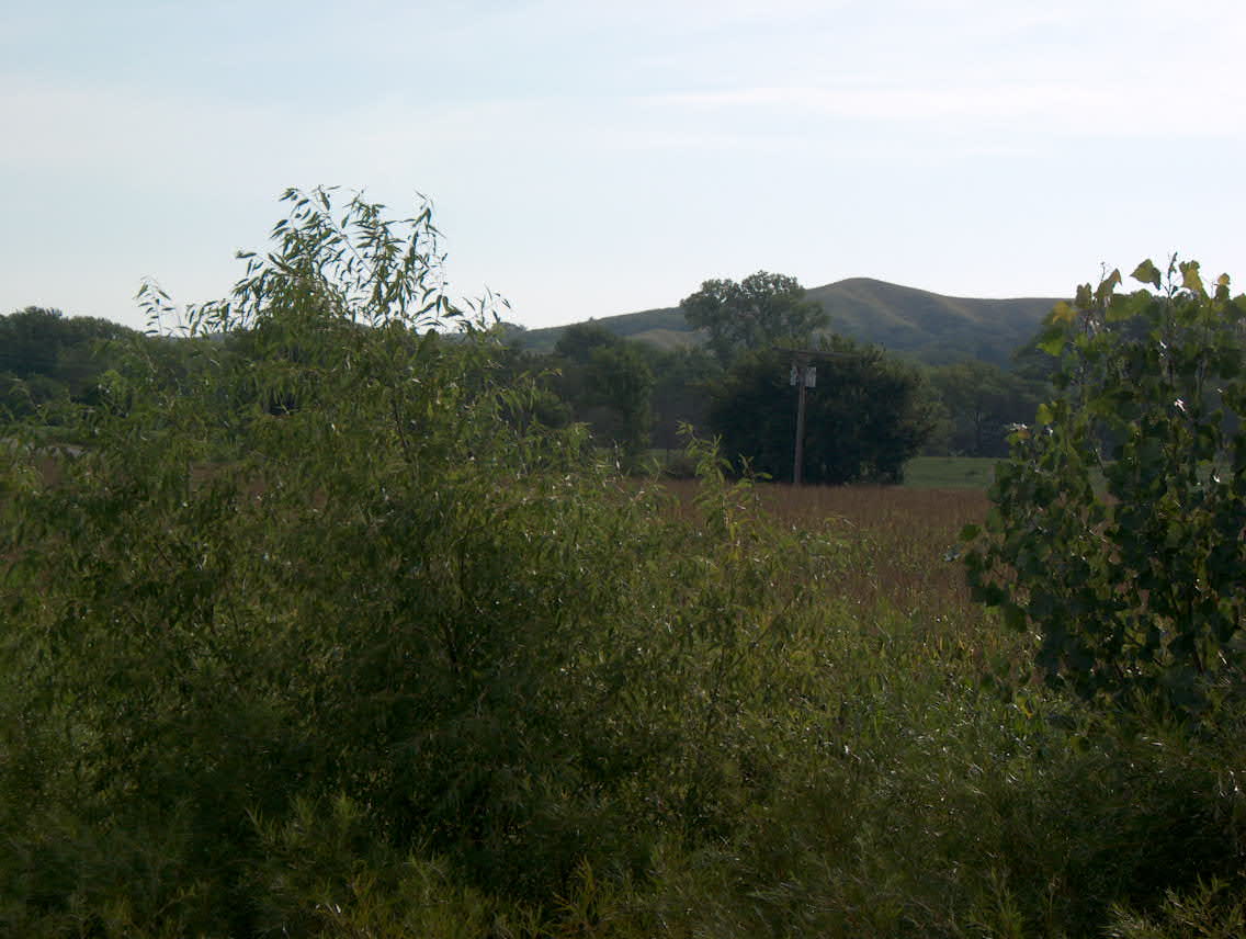
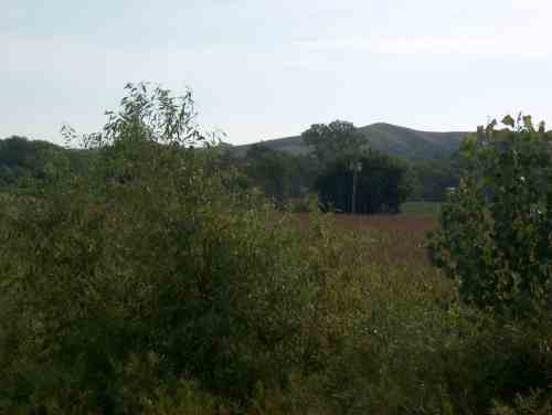
Loess hills in the distance.
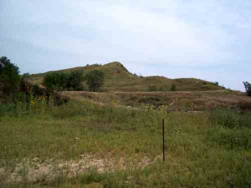
Loess Hills getting closer.
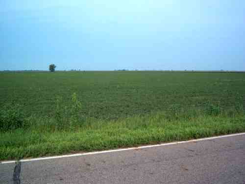
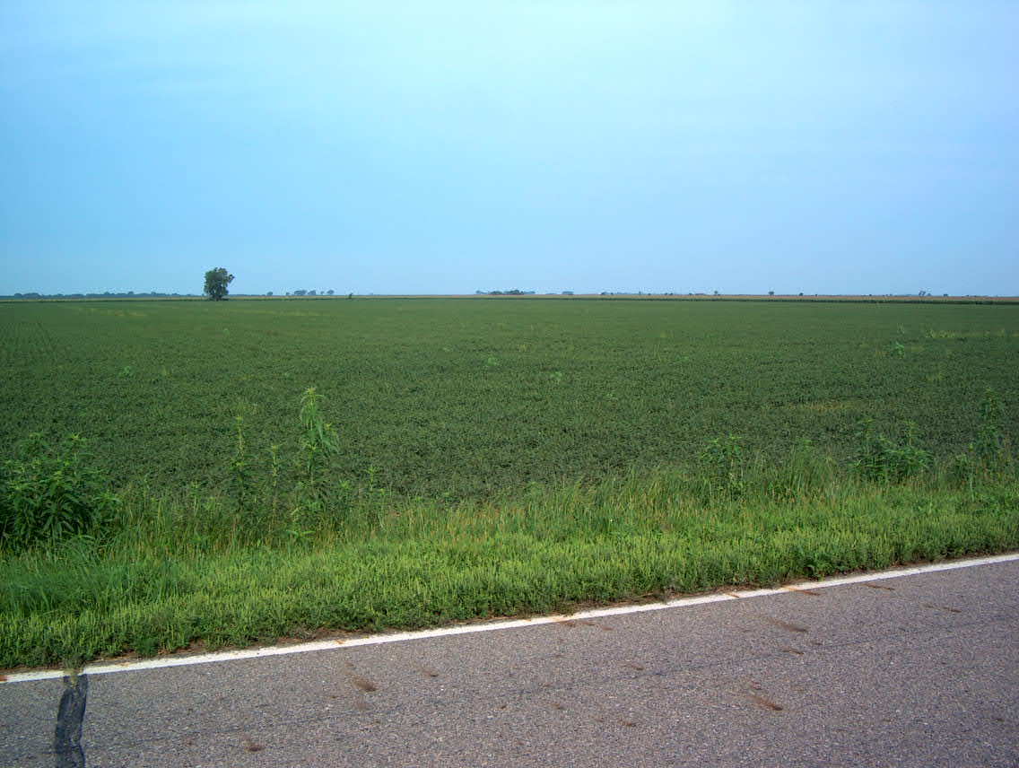
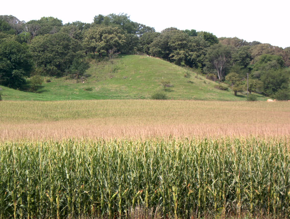
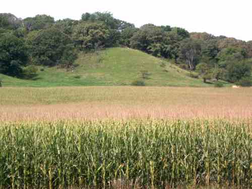
Looking west, back toward the Missouri river. Lots of soybean and corn fields.
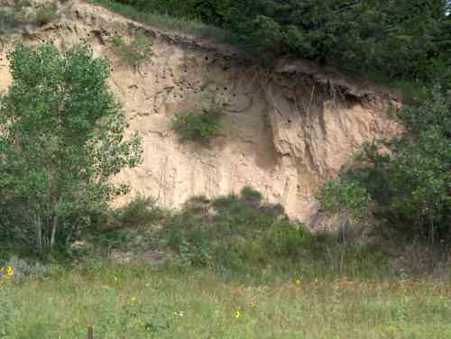
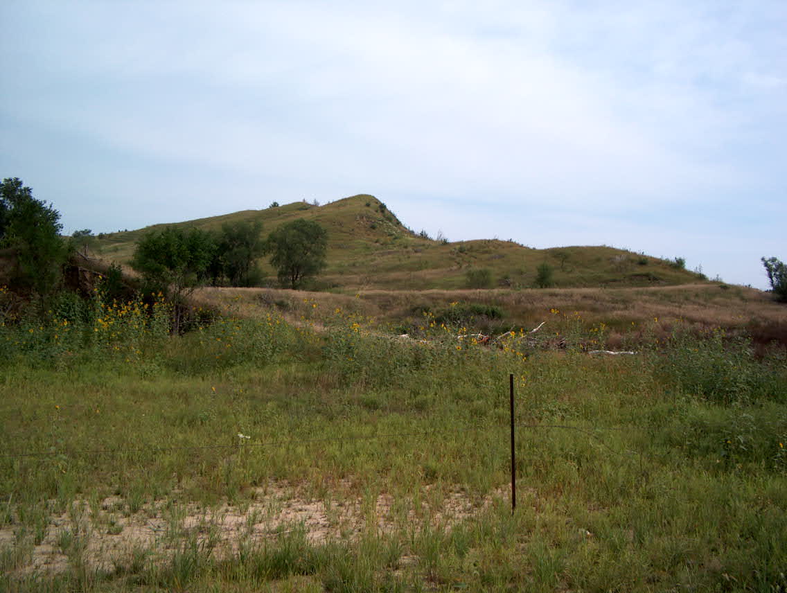
A road cut through a Loess hill. This soil is very fine, and erodes very
quickly anywhere it isn't stabilized by grass cover.
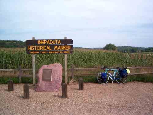
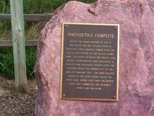
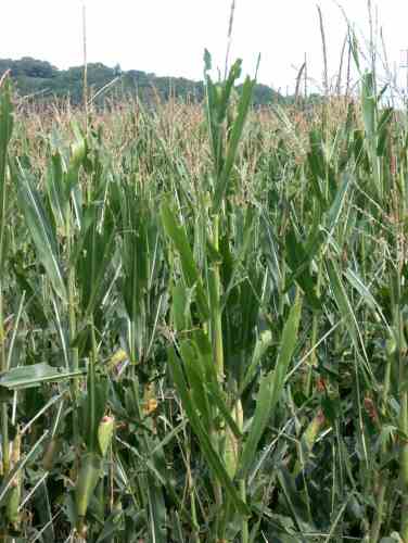
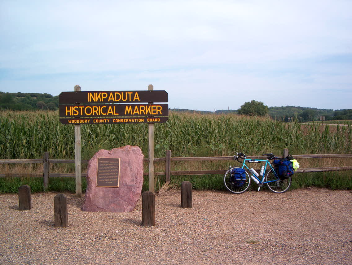
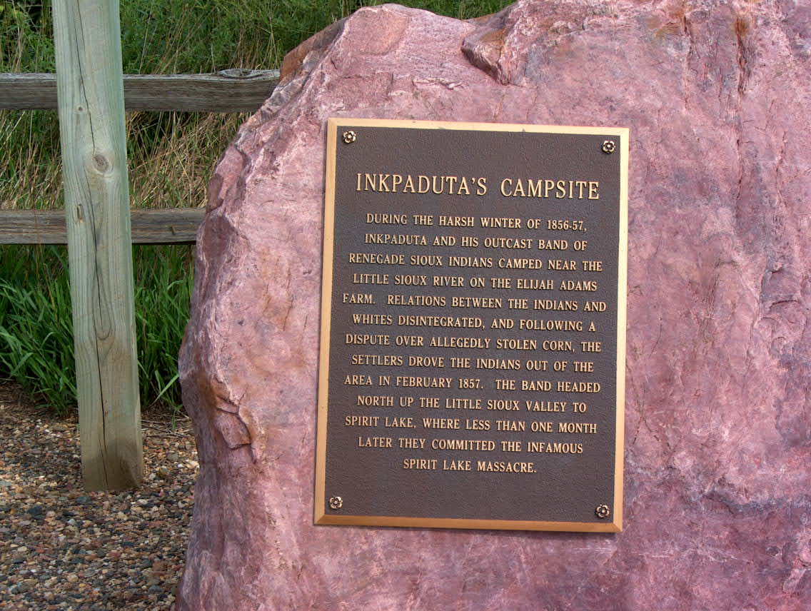
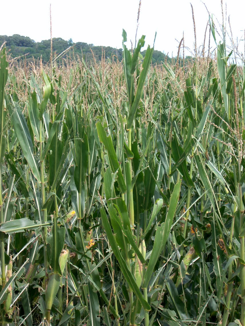
More insect-munched corn leaves, at the Inkpaduta historical marker site.
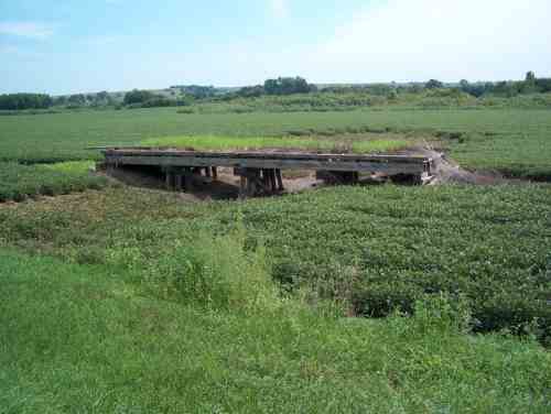
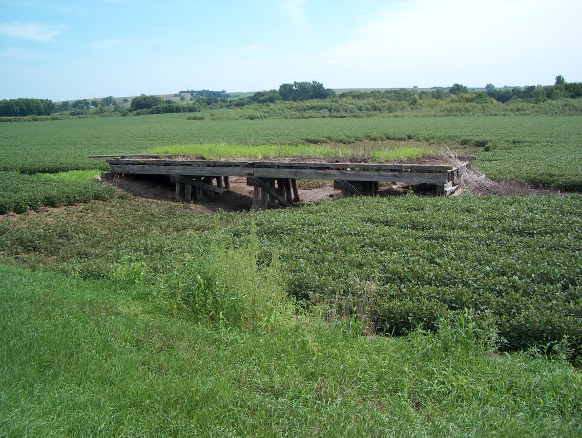
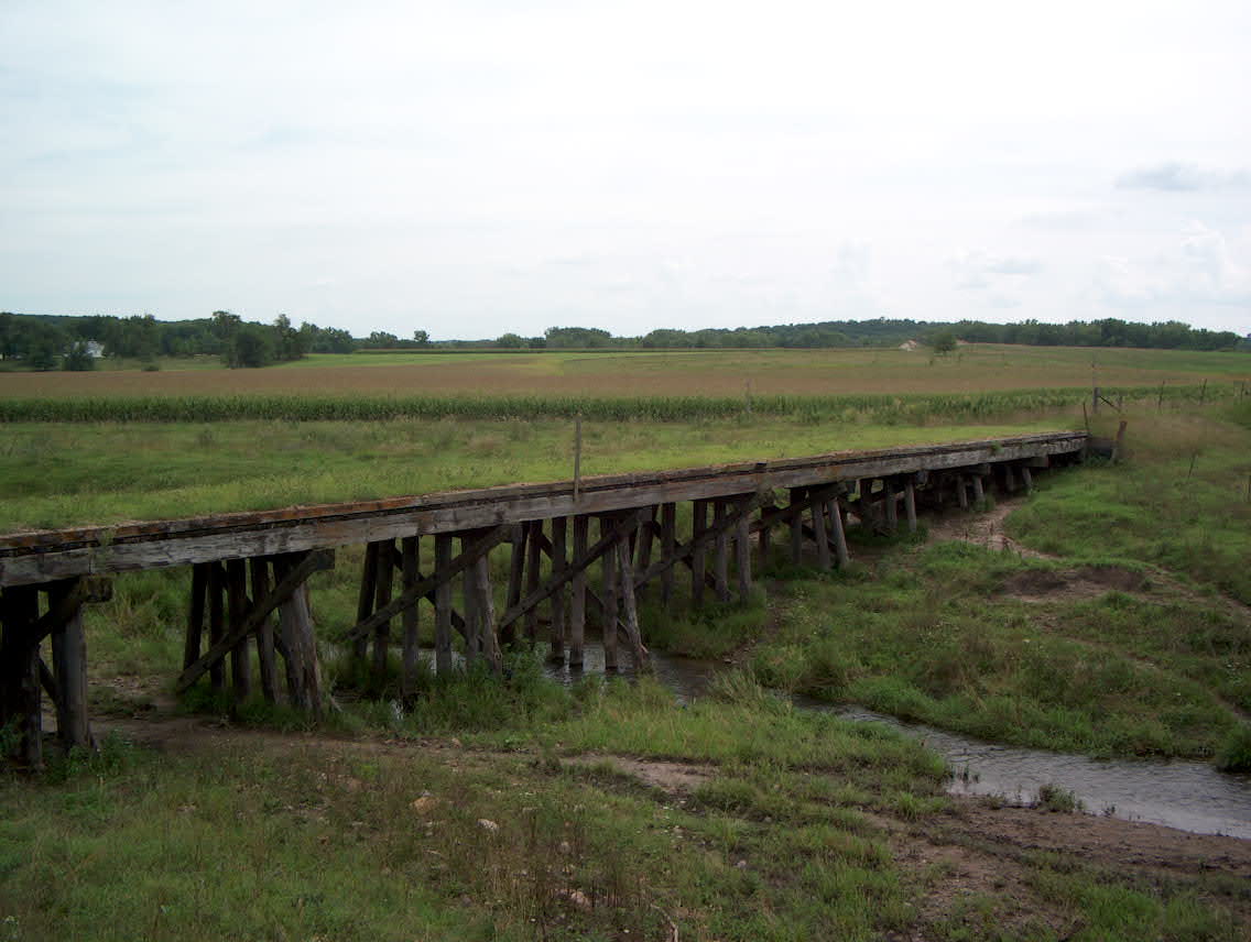
An abandoned railroad bed runs up the Little Sioux valley, and in many places the only evidence are old bridges.
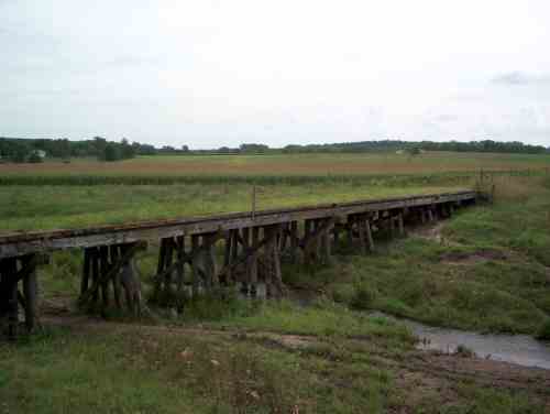
Another old railroad bridge, just outside of Cherokee.
Back to Day 9: Norfolk - Onawa Forward toDay 11: Rest day in Cherokee