Back to Day 8: Spalding - Norfolk Forward to Day 10: Onawa - Cherokee
Day 9: 25-Aug-2002 Norfolk, NE - Onawa, IA (map)
Today's distance       72.6 miles
Time moving:              6 hours, 53 minutes
Time stopped:             2 hours, 00 minutes
Ending elevation:      1040 ft
Max speed:             34.0 mph
Moving average speed:  10.5 mph
Overall average speed:  8.2 mph
Cumulative climbing:   3121 ft
Cumulative descent:    3739 ft
Total distance:       571.1 miles
A very hilly ride, but enjoyable. Got a late start (9:00). Today's
late start was the result of a nice long soak this morning to make
sure I got my money's worth.
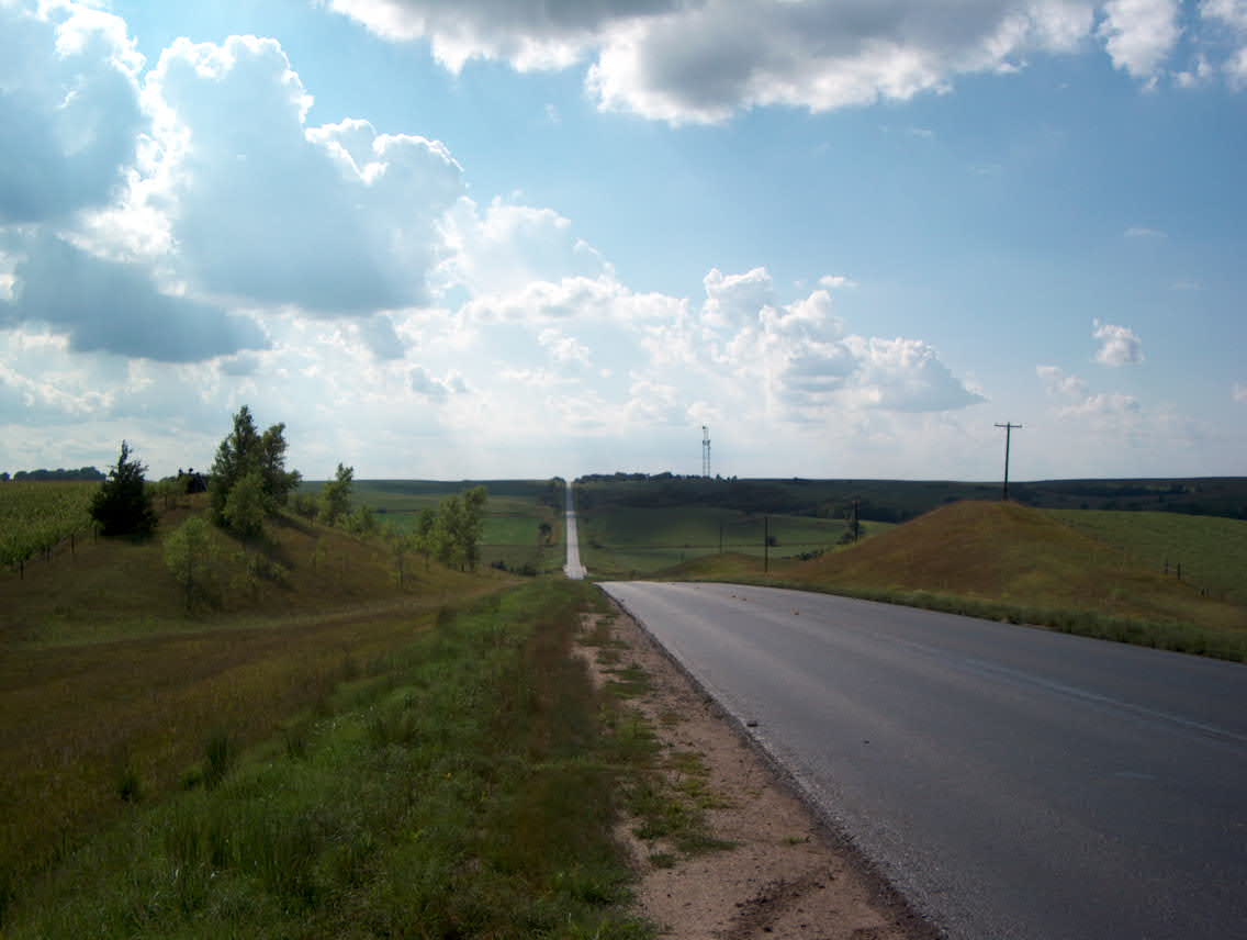
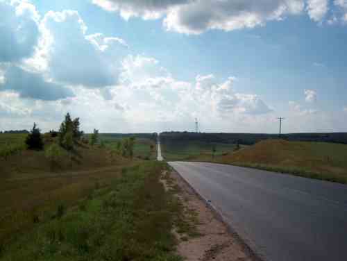
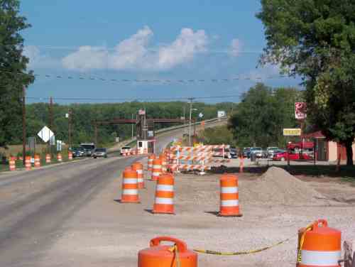
East of Norfolk are a series of steep rolling hills, which were
exhilarating to ride down, but something of a toil to climb. There is a
new road being constructed next to the current highway, and they have cut
off about 50 feet off of the tops of the hills, and filled in the valleys.
The first few miles had been paved with concrete, and it is interesting
to watch the progress of the construction of the road go from nearly complete
(just needs markings), to rebar, to compacted roadbed, to gravel, to dirt,
to survey markers in a field. All this over the course of about 10 miles.
I have been noticing that many of the corn fields have been eaten
almost bare by grasshoppers. At first I thought it was hail damage,
but closer examination revealed it was definitely from being eaten by
insects. In some areas, the roads are also covered by grasshoppers,
with one every few inches in places. There seem to be two different
kinds of grasshoppers here. The first kind is about an inch long, and
relatively fast and agile, and will jump out of the way of the bike.
The other kind, somewhat larger, don't seem to be too inclined to jump
out of the way, and this makes for a somewhat crunchy ride.
Riding down a road with a dense carpet of grasshoppers can cause an
astonishing effect. They will jump out of the way when the bike gets
within about 3 or 4 feet. This results in a "bow wave" like you might
see when a boat moves through the water. I felt like Charlton Heston
parting the waters of the Red Sea....
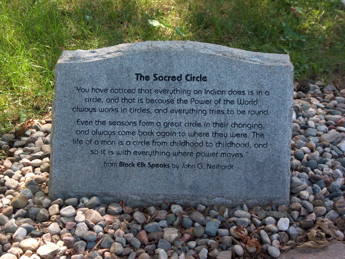
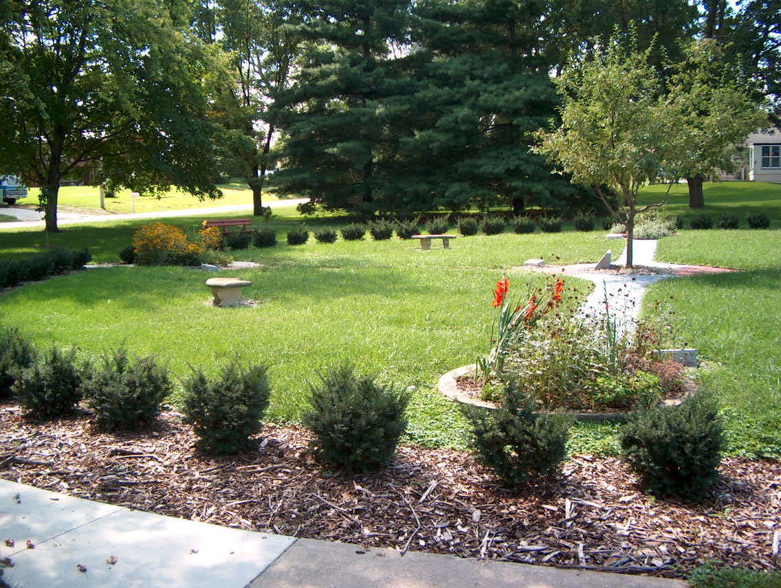
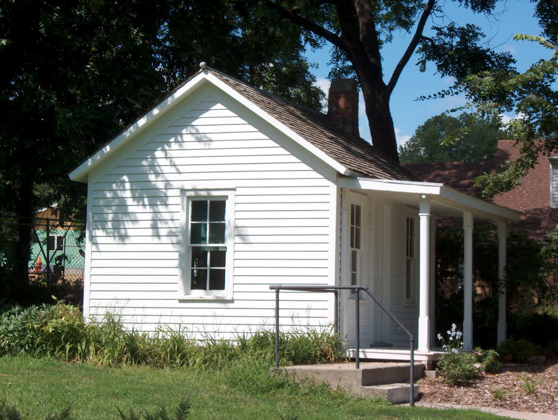
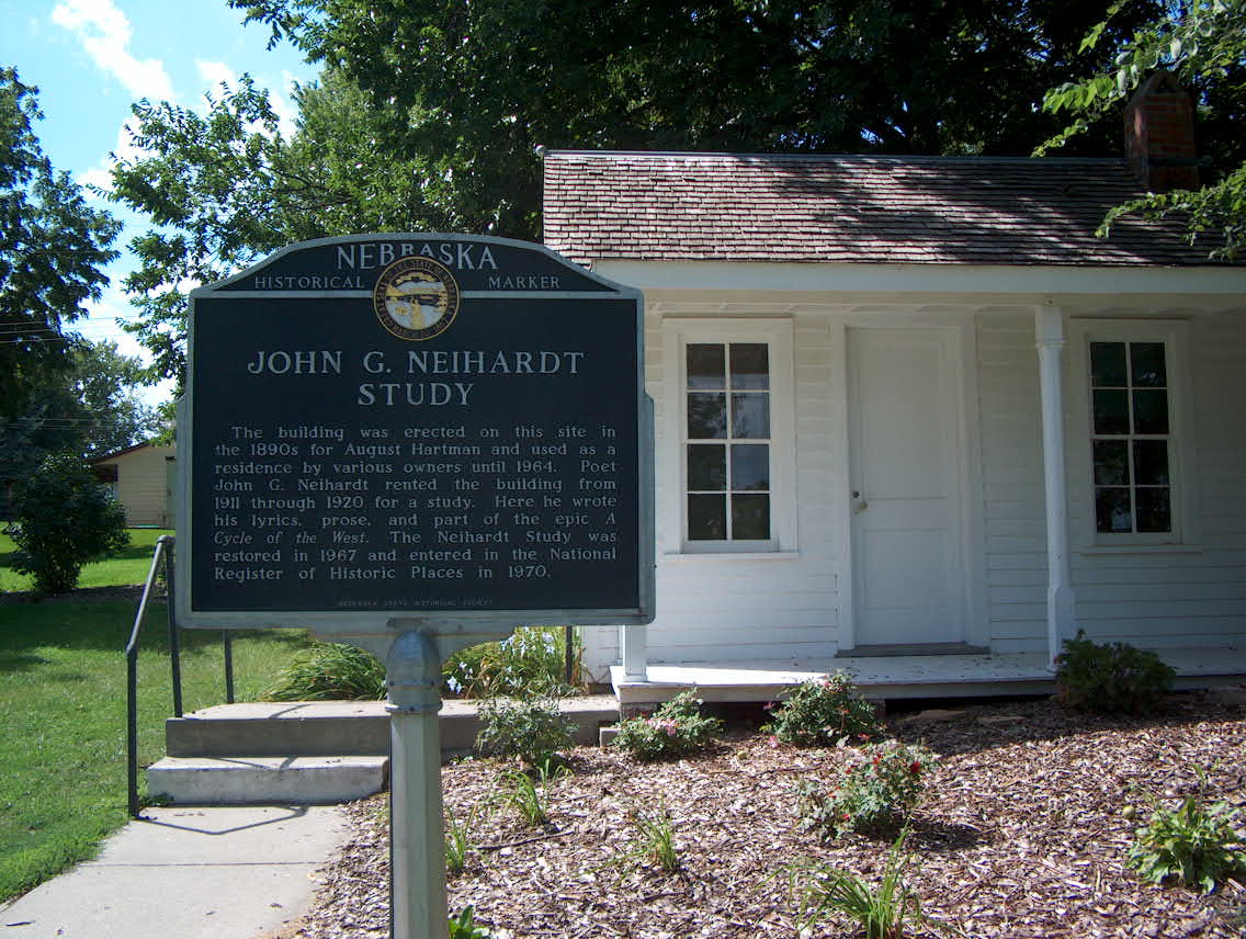
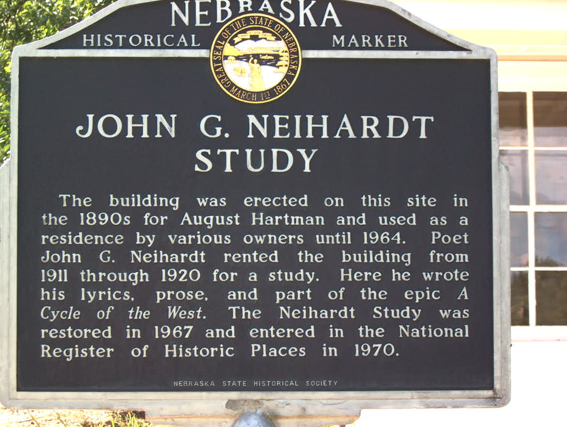
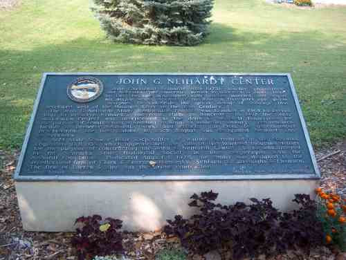
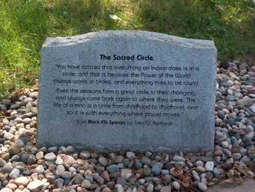
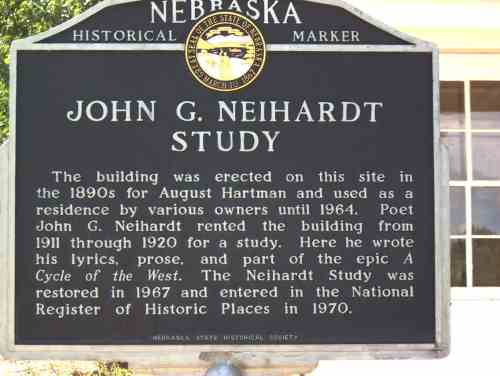
The highlight of the day was visiting the John G. Neihardt State
Historical Center. Neihardt was a prominent poet but is most
famous for Black Elk Speaks, which is the life story of Black Elk, who
befriended Neihardt and taught Neihardt much about the Lakota and
their culture. As the first Poet Laureate of Nebraska, he was the
first poet laureate to be designated by any state legislature.
My favorite part of today's ride was talking to the toll booth
attendants at the bridge crossing the Missouri river. There were two
men working in there, probably in their mid or late 60s. Very
friendly and interested in where I had come from and where I was
going. I stood there and chatted with them for a few minutes, then
moved on. I stopped at the top of the approach to the bridge to take
some pictures, and as I stood there a couple on a Harley rode by and
wished me good luck and happy trails. The toll booth guys must have
told them about me.
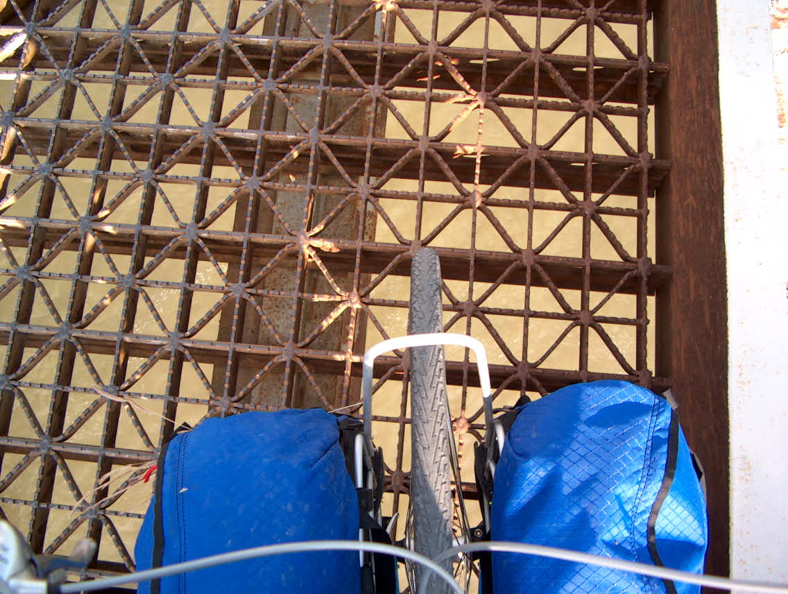
The deck of this bridge is not very bicycle-friendly. Would not want
to go down on this.
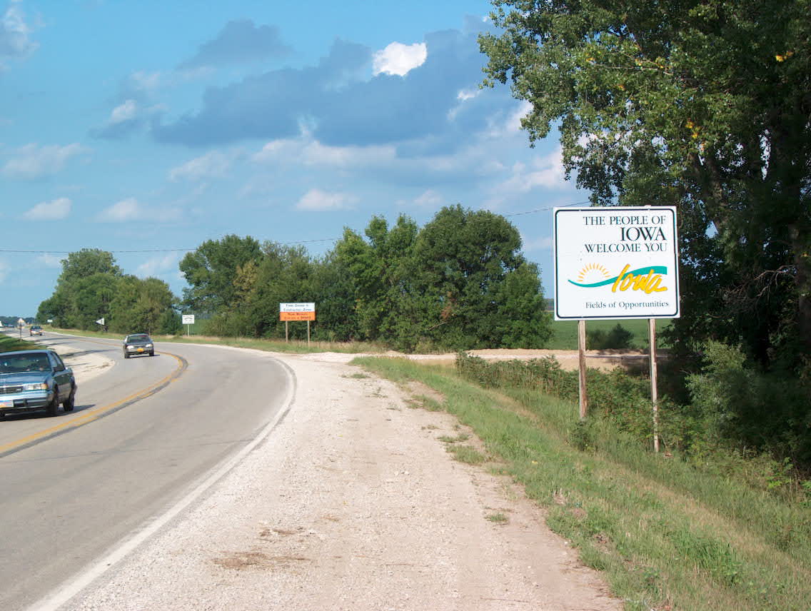
From the bridge it was about a 10 mile, flat ride to Onawa, where I decided to stay at the Super 8 motel.
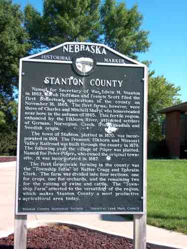
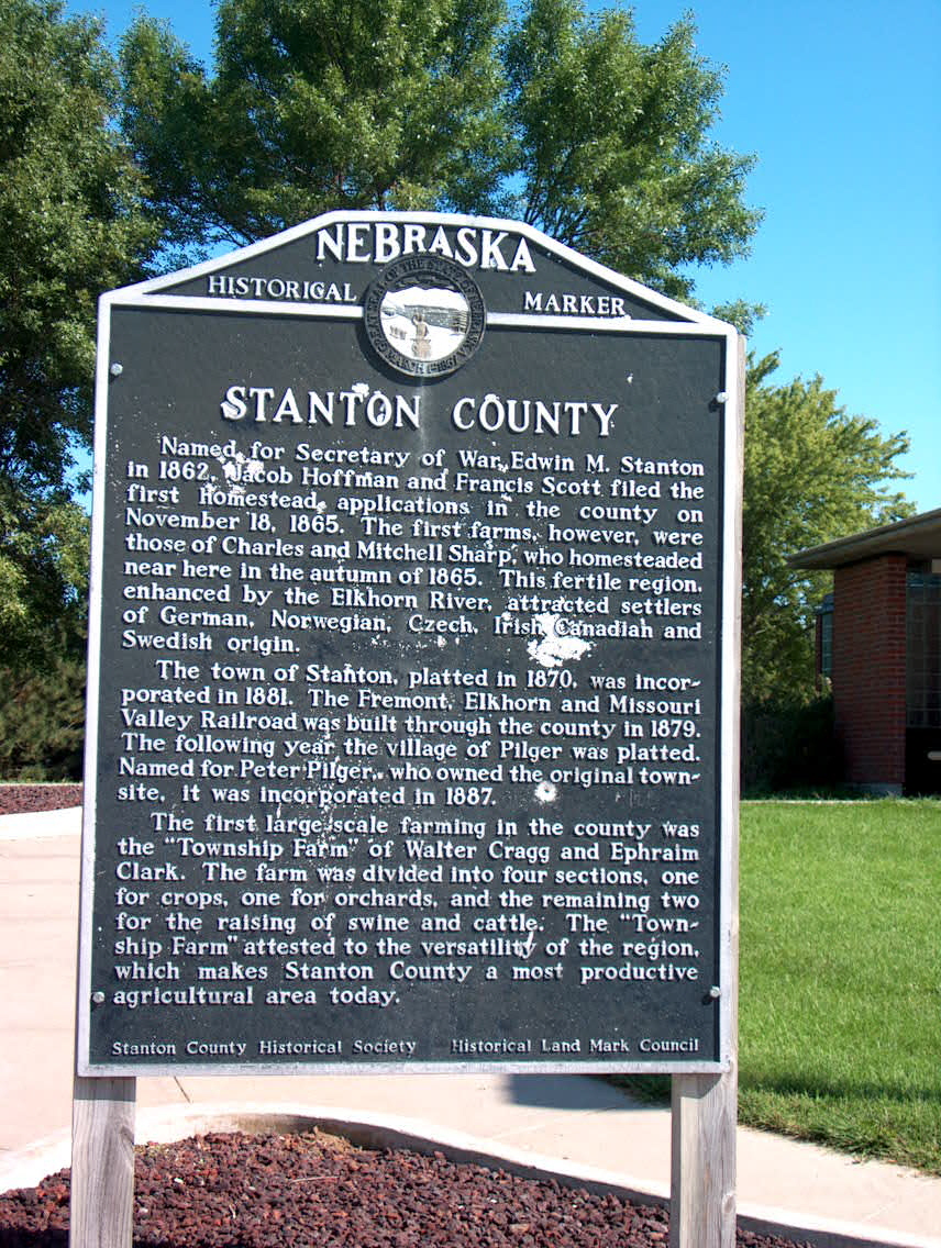
Historical marker about 15 miles east of Norfolk
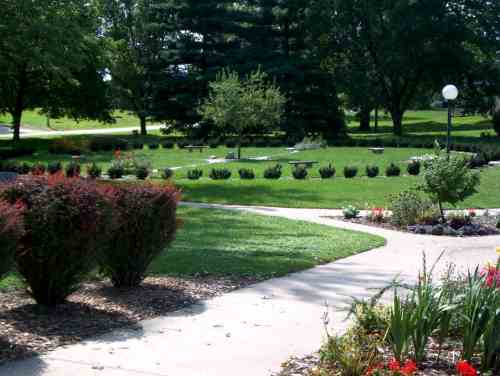
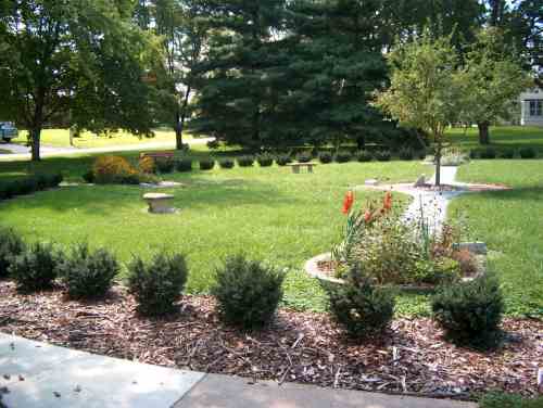
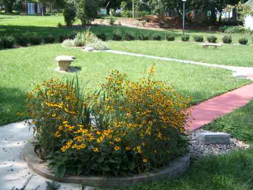
Prayer circle at the Neihardt Center

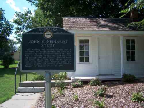
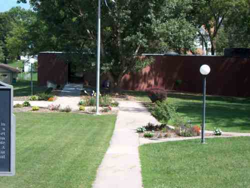
Museum at the Neihardt Center.

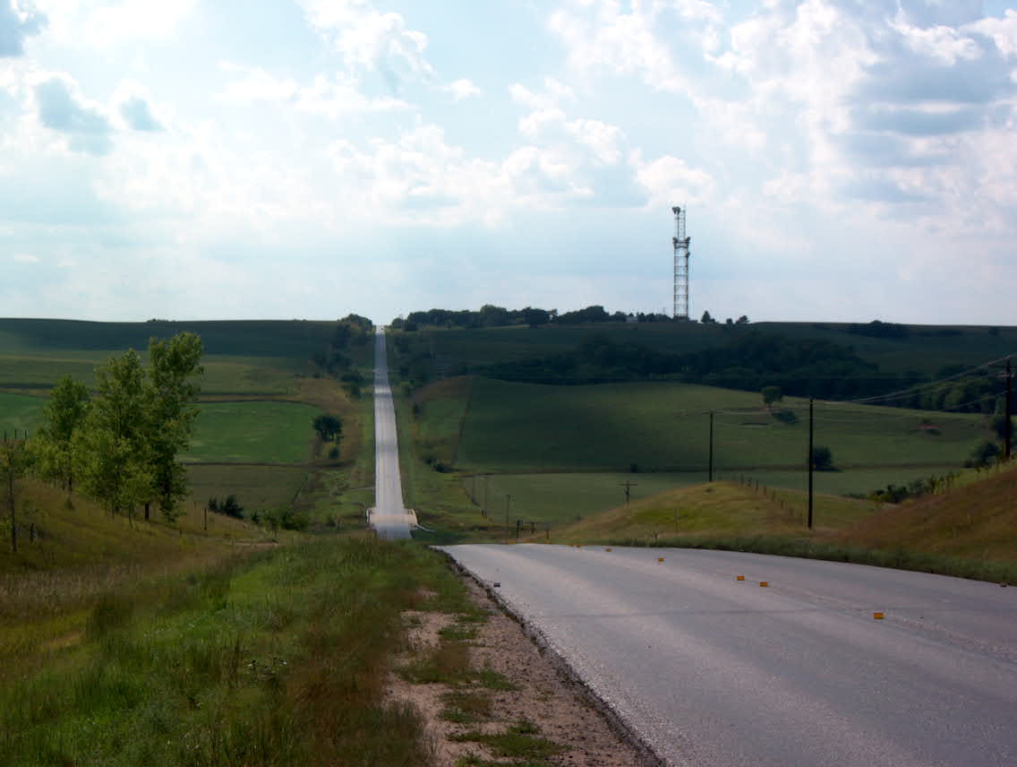
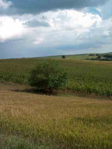
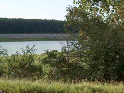
Looking back to the west
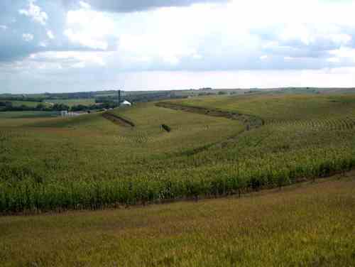
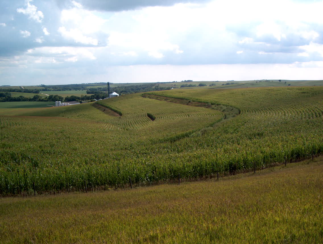
Terraced field, looking south from the same vantage point as the photo above.
Looking back again, zoomed out.
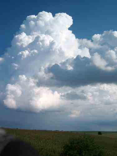
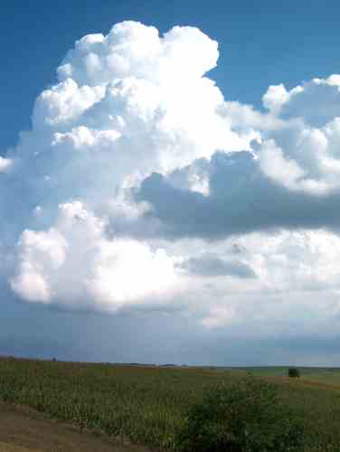
Thunderhead. This turned out to be a fairly severe storm, which caused some wind and hail damage near Blair, Nebraska.
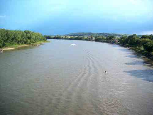
Toll bridge over the Missouri River. The distant trees are in Iowa.
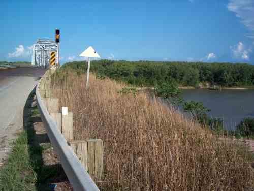
Bridge approach and Missouri River.

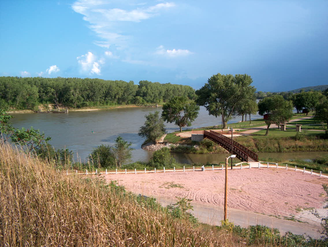
Waterfront park, Decatur NE.
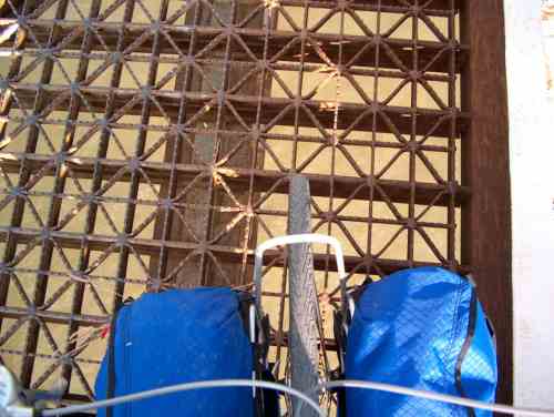
Bridge deck. Wouldn't want to fall on this. There is no paved shoulder or sidewalk. Caution advised.

Back to Day 8: Spalding - Norfolk Forward to Day 10: Onawa - Cherokee